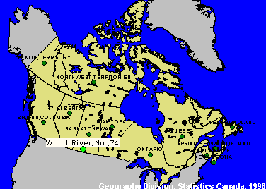
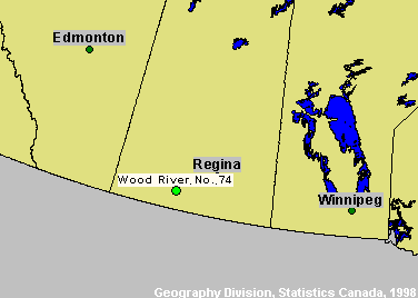
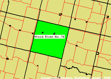
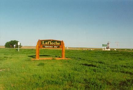
Wood River, Saskatchewan
Site Number: 24
CSD (1991):
Principal Researcher(s):
Assistant Researcher(s):
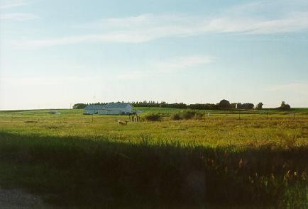
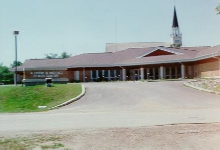
Located in south-central Saskatchewan, Wood River's industry is comprised primarily of agriculture (52%). The population (487) has decreased by 7% over the past few years. The labour force participation rate is 82%, the unemployment rate is 12% and 22% of the community is below LICO. The NRE study area for this site is made up of the CSD of Wood River and the neighbouring communities of Lafleche and Woodrow.
Major events & stories
Note: This timeline has revisions from 1956 onwards, but has not been revised from the original profile for dates prior to 1956.
- 1956 Lafleche constructs water and sewer main. 1Quonset building erected by community volunteers to store grain since grain quotas were very low or non-existent. First grain went into the building summer of 1956. 1961 was a very short crop on the prairies, and as a result the grain (which had brought us money for storage) was shipped out and work began immediately on the 3 sheet curling rink.
- 1957 New hospital built.
- 1958 Train service for mail and passengers is discontinued and replaced with mixed service three times a week. Passenger service was completely discontinued in 1960. Town water sewer plant officially opened.
- 1960 Land bought for a landing strip for light airplanes.
- 1960 Saskatchewan Government Telephone constructed a new dial office and telephone. An indoor curling rink with three sheets of ice was built.
- 1961 Automated phones came into operation. A new artificial ice curling rink opened with three sheets of ice.
- 1965 DeCap Trailer Manufacturing began in Lafleche in a small building and later moved into a large new facility in 1975.
- 1967 Town of Lafleche builds self-contained housing units for senior citizens, Wood River Centennial home
- 1968 Streets were paved in Lafleche.
- 1969 Homecoming Celebration.
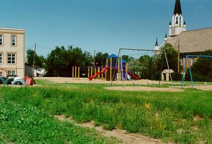
- 1973 New indoor skating rink and regional library opened.
- 1977 Wheatland Lodge opened – eighteen suite senior citizen low rental housing building. Palliser Aggregates, a gravel crushing business came to Lafleche from Ernfold, and in the early 80’s moved to its present location.
- 1978 Town council takes precedent setting action of eliminating the business tax to encourage and support the local business community
- 1979 Construction of a new 16-bed hospital/special care facility. New office complex for Wood River School Division No. 70. District offices of the Crop Insurance Corporation and for the Agricultural Development and Diversification District No. 3 were established in Lafleche. Toronto Dominion Bank constructed new building. Wood River utility board begins to service the RM with water lines. Previously the RM relied on dugouts and wells but with water lines, RM recipients can now expand into cattle etc.
- 1980 The Wood River flooded in the spring, the largest flood in many years. Gravelbourg was threatened. Roadways were cut off. The most severely affected areas were in the southern part of the RM.
- 1982 DeCap Trailer building was taken over by Palliser Aggregates and the trailer manufacturing moved to new facilities 4½ miles south east of Lafleche.
- 1990 Wheatland Aggregates began a gravel-crushing business, and works out if the Palliser Aggregate shop
- 1991 Lafleche & District Museum saw its beginning in the former Wood River School Division building, and has grown to a popular visitor centre showing many of the artifacts of early pioneering days in this community.
- 1996 Hospital is downgraded to community health centre (12 – 20 jobs lost).
- 1999 Creative Enterprises, owned by Wayne and Geri Engel, moves from the farm north of Woodrow to a new location on highway #13, a southwest corner of the town of Lafleche. They opened for business early 2000.
- 2000 The last grain elevators closed in Lafleche—the Saskatchewan Wheat Pool followed by 2 Pioneer Grain, in March, 2000. The Lafleche Credit Union opens a new office building on Main Street.
Documents
These documents summarize the work completed and insights gained from updating Economic Capacity Profiles for the New Rural Economy2 (NRE2) sites. The initial set of Profiles was based on the 1996 Census and 2001 NRE site profiles data. The updated Profiles are based on 2001 Census data and 2003 NRE site profiles data.

On the map