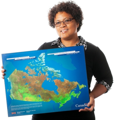
GIS collect, store, manipulate and analyze all sorts of spatial and geographical data.
“This program is special because it provides a great alternative for participants to achieve basic or advanced GIS skills specifically tailored to their project needs, outside of a conventional academic-credit program,” says lecturer Angela Kross, a geospatial technologies specialist who was hired in August 2015 to direct and teach the certificate.
“We use geospatial tools such as GPS and Google Maps in our daily activities,” Kross says. “GIS is also a growing domain with more and more professional opportunities that range from data collection to map-making to software development.”
The program is designed to offer maximum variability to participants, with two, three and five-day modules. “It’s a flexible training setting tailored both to expertise levels and project-specific subject areas,” Kross explains.
The idea for the program was born when the department noticed an increased demand for GIS skills training outside of the traditional 13-week theory-intensive course currently offered.
In the summer certificate course, participants will learn how to use free GIS open-source software, collect and analyze their data and turn that information into visual representations that will help them effectively communicate.
Storytelling is also a curriculum component. “They will learn how to tell stories using online mapping tools,” Kross says.
In addition, participants will be exposed to a range of GIS projects led by the department’s faculty, as well as by others enrolled in the program. “This will certainly expand the horizons of the participants in terms of what it is possible to achieve with GIS.”
Networking opportunities and one-on-one consultations with subject-area specialists who use GIS in their research will be available throughout the program.
Kross believes the new program will have broad appeal. “With things like smartphones and GPS devices, GIS is becoming increasingly necessary to many people and professional areas that have not traditionally used it,” she explains.
Kross says the program will also hold appeal for those who need it for their research, a work requirement or professional development.
Potential participants could include biology students who want to map disease, business students who want to pursue geography-related commercial opportunities and NGO members interested in community mapping. “Any student and professional with the beginning of an idea or a project involving geographic data would certainly benefit from this course.”
While the program is just getting started, Kross sees potential for growth.
“I am excited about the possibilities,” says Kross. “GIS is a fast-growing area, and with this program we will be able to quickly respond to the specific research and professional development needs of the participants.”
The summer Geographic Information Systems (GIS) certification program runs from May 30 to June 3. Space is limited, and participants are encouraged to sign up now. The cost for students and non-governmental organization (NGO) members is $100 per day, and the regular cost to participants is $375 per day.
 “GIS is a growing domain with more and more professional opportunities that range from data collection to map-making to software development,” says Angela Kross. | Photo by David Ward