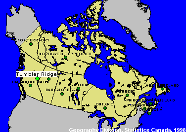
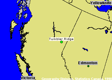
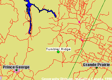
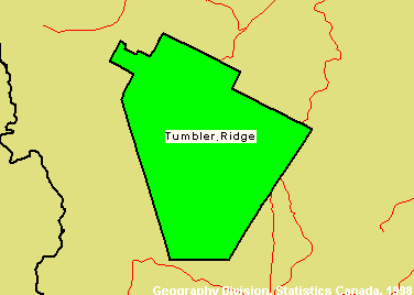
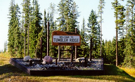
Tumbler Ridge, British Columbia
Site Number: 28
CSD (1991): 5955003
Principal Researcher(s): Greg Halseth
Assistant Researcher(s): n/a
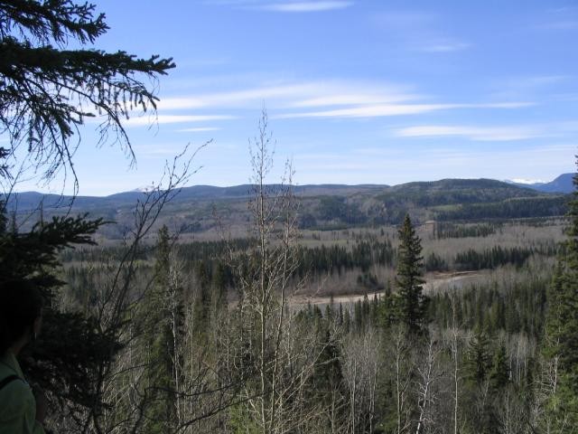
The community of Tumbler Ridge is British Columbia's newest town, founded in association with the province's last resource development "mega-project". Located on the eastern foothills of the Rocky Mountains in northeastern BC, planning for Tumbler Ridge and the area's coal mine developments began in 1975. The Provincial Government, through the Ministry of Municipal Affairs, managed the design and development of the community. Extensive efforts where put into the design, layout, and servicing of the townsite.
Site information
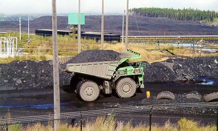
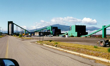
The community opened in 1986. While projections originally suggested population growth could exceed 10,500 people, the 1991 population was 4,500 and the 1996 population was 3,800. The local economy remains dependent upon the two open pit coal mines, Quintette and Bullmoose, whose markets are exclusively Japanese steel mills. Tumbler Ridge faces some difficult challenges to diversification of the local economy. It is not on a "thru" highway, as road access comes via separate spur roads from either Dawson Creek or Chetwynd. Recently established Provincial Parks and Protected Areas offer some tourism possibilities but there is at present a degree of uncertainty as the local coal industry does have a limited future.
Documents
These documents summarize the work completed and insights gained from updating Economic Capacity Profiles for the New Rural Economy2 (NRE2) sites. The initial set of Profiles was based on the 1996 Census and 2001 NRE site profiles data. The updated Profiles are based on 2001 Census data and 2003 NRE site profiles data.
On the map