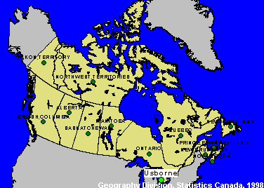
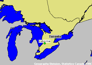
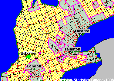
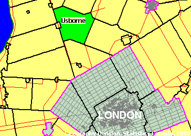
Usborne, Ontario
Site Number: 17
CSD (1991): 3540001
Principal Researcher(s): Tony Fuller
Assistant Researcher(s):
Usborne is a township located on the southeastern comer of Huron County, bordered by Perth County to the east and Middlesex to the south. Highway 4 constitutes the township's western border, Highway 23 its southeastern border, and Highway 83 crosses the township from east to west. Both highways 4 and 23 provide an efficient link between Usborne and the London CMA, the core of which is about 40 kms to the south from the centre of the township.
Site information
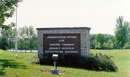
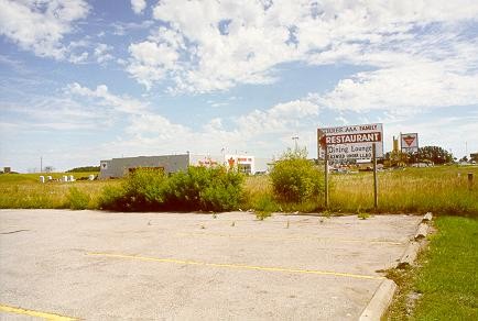
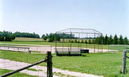
Usborne's population, which does not have a strong community identification with the site, is best described as dispersed. Based on the sampling grid factors, Usborne is categorized economically as having high global exposure with fluctuating tendencies; metro adjacent; leading; and having high capabilities. These characteristics appear relevant after initial site assessments.
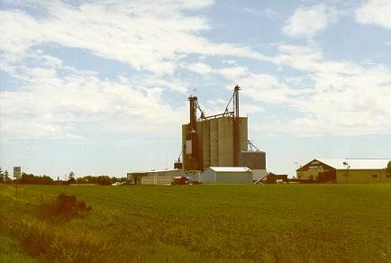
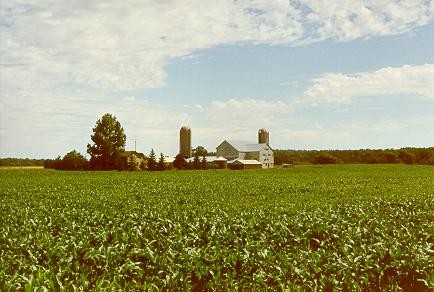
Agriculture is of primary importance to Usborne's economic and community activity. Also significant for employment and income generation are the backward and forward linkages (both indirect and direct) that agriculture has into other sectors. It has a first-rate bio-physical base for farming operations with soil capability Class 1 land in close to 70 per cent of the township. Also relevant is its position among the top 5 per cent of Canada's farm land in terms of the agroclimatic resource index. Although, the number of census farms has declined by 34 per cent from 1971-1996, farm land area has remained stable over the same time period. In fact, the area under crops has increased 10 per cent (1971-1996), constituting 86 per cent of the farm land in 1996. These conditions reflect a more intensive use of the farmland resource.
Major events & stories
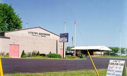
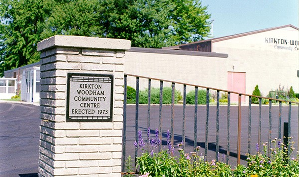
1970 Kirkton-Woodham Community Centre Board formed. Community Centre building erected in 1973.
1995 Kirkton Community Association disbanded.
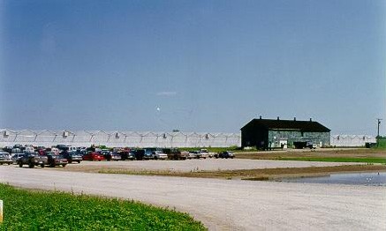
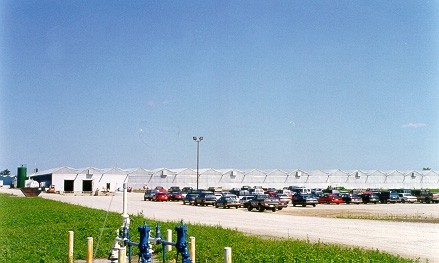
1996 Suntastic Hothouse Inc opened.
1999 Elimville and Thames Road United Church Councils decided to merge. Subesquently decided to close and tear down the Elimville location in 2001. A cairn will be erected on the site.
2000 Threat of school closures raised many concerns within Usborne and neighbouring communities. Final decision kept Usborne Central Public School, while another local school closed.
2000 Devastating flash-flooding occurred in mid July. Many crop losses.
2000 Nabisco plant in Exeter was sold. Future of location uncertain. A closure or layoff would have strong repercussions for employees and local farmers.
2000 Three townships of Exeter, Stephen and Usborne agreed to amalgamate and form the new Municipality of South Huron. To take effect January, 2001.
Documents
These documents summarize the work completed and insights gained from updating Economic Capacity Profiles for the New Rural Economy2 (NRE2) sites. The initial set of Profiles was based on the 1996 Census and 2001 NRE site profiles data. The updated Profiles are based on 2001 Census data and 2003 NRE site profiles data.


On the map