A Selection of Research Projects
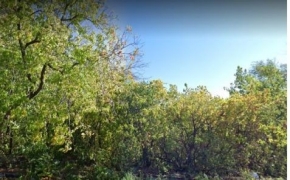
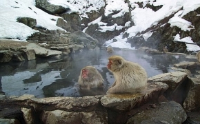 Using fractal analysis to determine if physical impairment in Japanese macaques (Macaca fuscata) alters behavioural movement complexity
 Supporting the possibilities of urban commoning in Montreal’s Champ des Possibles.
Photo credit: Amy R. Poteete
Supporting the possibilities of urban commoning in Montreal’s Champ des Possibles.
Photo credit: Amy R. Poteete
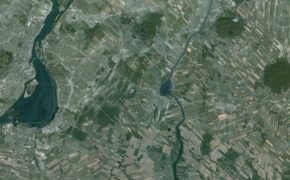
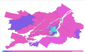 Urban development in Montreal
(map by M. Reid; data from Nazarnia et al. 2016)
Urban development in Montreal
(map by M. Reid; data from Nazarnia et al. 2016)
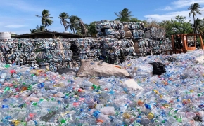 The role of data in smart waste management and circular economy systems at local scales
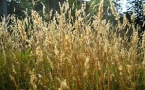
 The relationship between urban sprawl and multiple ecosystem services in Montreal
 Changes in habitat amount, fragmentation, and connectivity in the Adirondacks to Laurentians (A2L) transboundary wildlife linkage
 mind. heart. mouth. Collective gardening, design, and community care
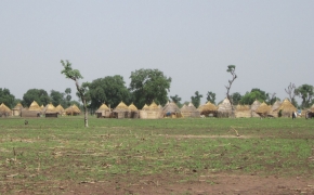 Protests against large-scale land acquisitions, electoral democracy, and the emergence of rural citizenship in Senegal (Photo credit: Marie Gagné)
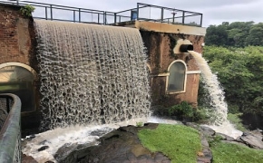
") An ecological and hydrogeomorphological approach to predicting and restoring salmonid abundance (Photo credit: Kyleisha Foote)
An ecological and hydrogeomorphological approach to predicting and restoring salmonid abundance (Photo credit: Kyleisha Foote)
") Advancing the consideration of ecological connectivity in Environmental Assessment (painting by Charla Patterson)
Advancing the consideration of ecological connectivity in Environmental Assessment (painting by Charla Patterson)
.") Wildlife mortality in the Eastern Townships before mitigation measures (photo credit: Steffy Velosa).
Wildlife mortality in the Eastern Townships before mitigation measures (photo credit: Steffy Velosa).
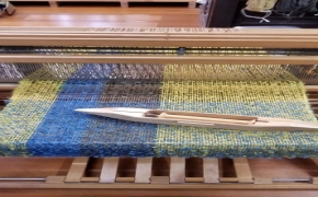 Rethinking textiles in an age of waste
 Assessing the contribution of public and private green space to urban forest diversity in Montreal: Patterns of functional diversity
 Enhancing biodiversity, social inclusion, and climate resilience through informal urban green spaces in Montreal
 Science-based targets for corporate greenhouse gas emissions
 Assessing the degree of landscape fragmentation in Canada over the past 50-70 yrs
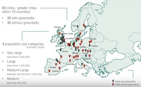 Analyzing the effects of greenbelts on urban sprawl in European cities
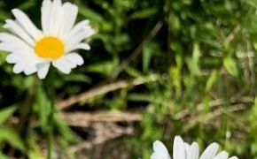 Relative influence of local and landscape variables on native bee communities in urban ecosystems (Photo credit: Serena Sinno)
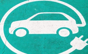 Planning transport systems with sustainable development and the SDGs
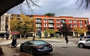
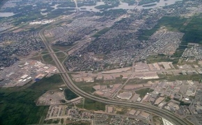 Urban sprawl in Canada in all Census Metropolitan Areas and corresponding Census Subdivisions (photo credit: Craig Townsend).
 The politics of knowledge production in natural resources management: water management in Brazil
(Photo credit: Rubens Lima Moraes)
The politics of knowledge production in natural resources management: water management in Brazil
(Photo credit: Rubens Lima Moraes)
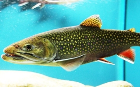 Effects of intraspecific diversity and eco-evolutionary feedbacks on climate change adaptation in Cape Race brook trout
") Modelling potential high-turtle presence zones along roads and their application to Québec (photo credits: Michael Rolheiser)
Modelling potential high-turtle presence zones along roads and their application to Québec (photo credits: Michael Rolheiser)
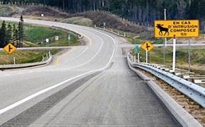
 How do roadkill hotspots and coldspots align on two parallel highways in southern Québec?